Abstract
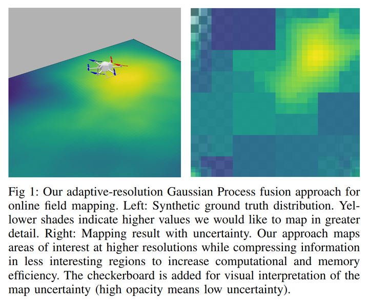
Unmanned aerial vehicles are rapidly gaining popularity in many environmental monitoring tasks. A prerequisite for their autonomous operation is the ability to perform efficient and accurate mapping online, given limited on-board resources constraining operation time and computational capacity. To address this, we present an online adaptive-resolution approach for field mapping based on Gaussian Process fusion, a strategy in which Bayesian fusion is applied to update a Gaussian Process prior map. A key aspect of our approach is an integral kernel encoding spatial correlation over the areas of grid cells. This enables efficient information compression in uninteresting areas to achieve a compact map representation while maintaining spatial correlations in a theoretically sound fashion. We evaluate the performance of our approach on both synthetic and real-world data. Results show that our method is more efficient in terms of mapping time and memory consumption without compromising on map quality. Further, we integrate our mapping strategy into an adaptive path planning framework to show that it facilitates information gathering efficiency in online settings.